Hilo is often celebrated as a postcard-perfect Hawaiian escape. The Big Island city is known for lush scenery, cultural heritage, and a long list of affordable activities. It is also the rainiest place in the United States and has been cited as the cheapest Hawaiian city to retire in, which helps explain its enduring appeal. Yet beneath the tropical surface, Hilo sits in one of the most geologically active environments in the country. Volcanoes, earthquakes, tsunamis, and wildfire are part of the risk landscape that residents and visitors must take seriously.
Volcanoes Are Close, but Heavily Monitored
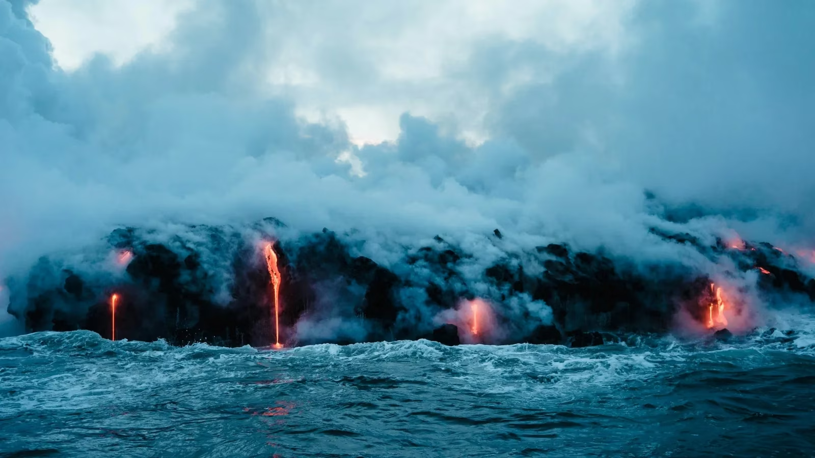
Two of the world’s most active volcanoes, Kīlauea and Mauna Loa, are not far from Hilo. That proximity is a source of awe and, at times, anxiety. Kīlauea has eruption periods that can last hundreds of years, with individual eruptions sometimes persisting for decades. Mauna Loa erupts roughly every five years and is known for fast-moving flows. Hilo itself is built on modern lava flows from Mauna Loa, a reminder that the landscape was shaped by the same forces that remain active today.
The good news is that the United States Geological Survey keeps constant watch over both volcanoes. Lava glow, flows, and eruptions are unlikely to arrive without warning. Visitors can also observe volcanic activity in a relatively safe setting at Hawai‘i Volcanoes National Park, which is about a 40-minute drive from Hilo by car. Other volcanoes in the park are monitored as well, though none are as famous as Kīlauea and Mauna Loa.
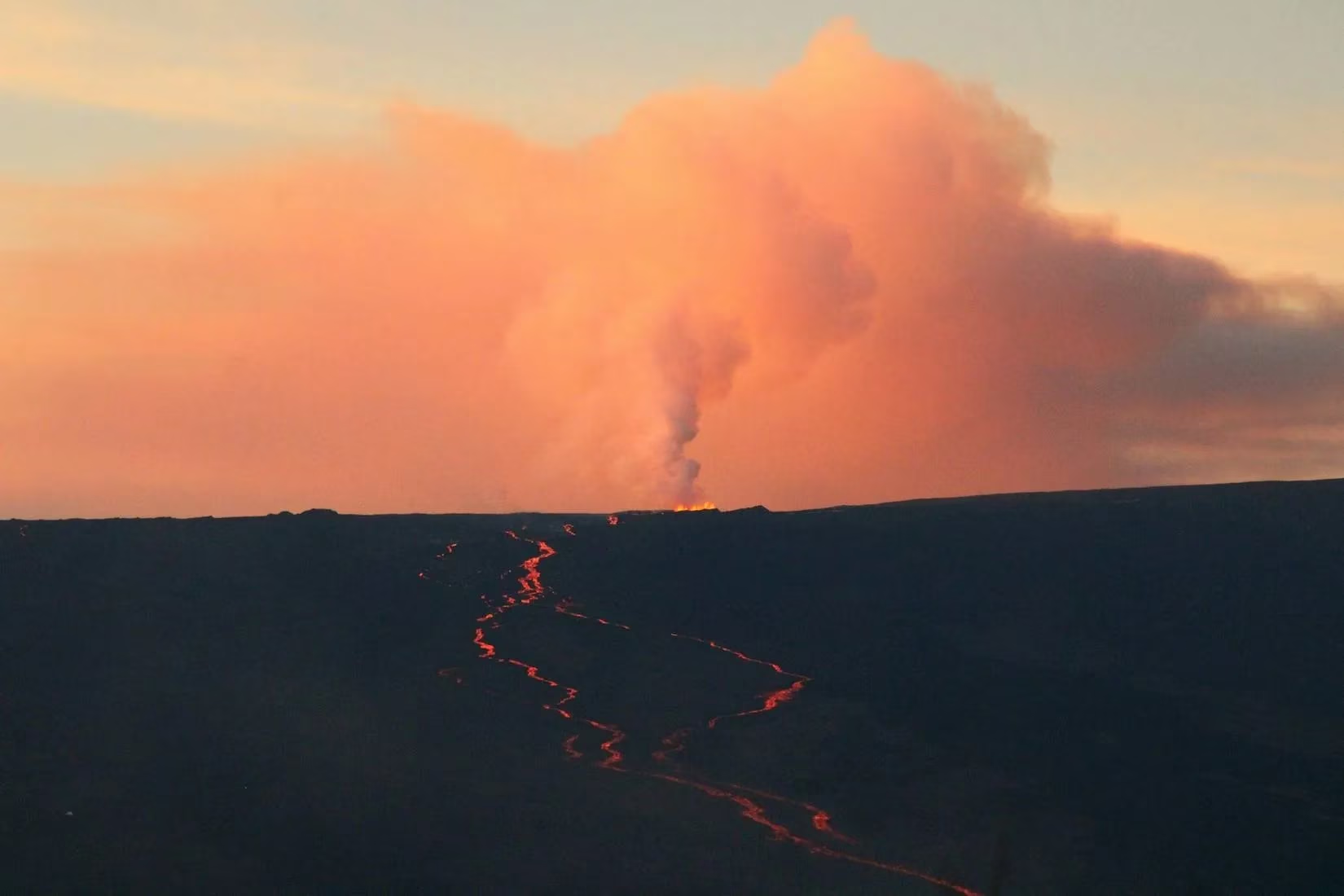
Eruptions are not the only concern. Poor air quality can affect health when smoke and ash create hazardous conditions, even though air quality is often good when the volcanoes are quiet. Travelers should check the park’s website before planning a trip and continue monitoring official updates while in Hilo.
Earthquakes Are Shockingly Common
Hawaii’s geography makes earthquakes a regular occurrence. Magma moving beneath the surface, combined with tectonic plate movement, produces frequent seismic activity across the state, including Hilo. It is not unusual for Hilo to experience dozens of earthquakes per day, though most are below magnitude 3 and pass without notice.
Monitoring data from 2024 illustrated the scale of the activity. Earthquake Track reported that, in a 30-day window ending August 13, Hilo recorded 1,679 earthquakes. Over the preceding year, the city experienced more than 9,800 earthquakes. As of 2026, the region remains under close scientific observation, and the pattern of frequent minor tremors continues to define daily life in parts of the Big Island.
Earthquakes can also trigger other natural events, including tsunamis, which adds another layer of risk for Hilo.
Tsunami Risk in Hilo Bay
Hilo’s location on the bay makes it susceptible to tsunamis. According to Hawaii Magazine, tsunamis have claimed more lives in Hawaii than any other local disaster. In Hilo, three significant tsunamis have had high death tolls and caused millions of dollars in damage. While tsunamis are not the most common disaster in the city, Hilo Bay remains at risk, especially after strong earthquakes.
Hawaii Magazine notes that in the last 30 or so years, Hilo has not experienced a majorly destructive tsunami. That quiet period is welcome, but it does not remove the hazard. Visitors should know evacuation routes and heed official warnings and sirens.
Wildfire Is a Statewide Concern
Hawaii is also susceptible to fires. After the Lahaina fire in February 2024, NBC News described Hawaii’s fires as its ‘new normal.’ The biggest fire in Hawaii’s history took place on the Big Island, which may add to concerns for those considering a visit to Hilo. Fire frequency and severity have increased over the years, though Hilo’s specific wildfire risk is apparently very low. Even so, travelers should stay informed about statewide hazards and follow local guidance.
A Practical Risk Snapshot
| Hazard | What to Know | Practical Step |
|---|---|---|
| Volcanic eruption | Kīlauea and Mauna Loa are monitored by USGS; the national park is about 40 minutes from Hilo | Check park and USGS updates |
| Vog and air quality | Smoke and ash can create hazardous conditions | Monitor air quality advisories |
| Earthquakes | Frequent, mostly minor; 2024 data showed thousands in a year | Drop, cover, and hold on; secure loose items |
| Tsunami | Hilo Bay is at risk; history includes deadly events | Know evacuation routes and heed sirens |
| Wildfire | Statewide risk is rising; Hilo-specific risk is low | Stay informed and follow local guidance |
Hilo remains a rewarding destination with extraordinary scenery and culture. The difference between a smooth trip and a stressful one often comes down to preparation. Checking official sources, respecting warnings, and understanding the natural forces that shape the Big Island can help visitors enjoy Hilo while staying aware of its darker side.
Comments